Services
Our services
Five service areas – from stockpile volumes to visual inspection of buildings and facilities.
01
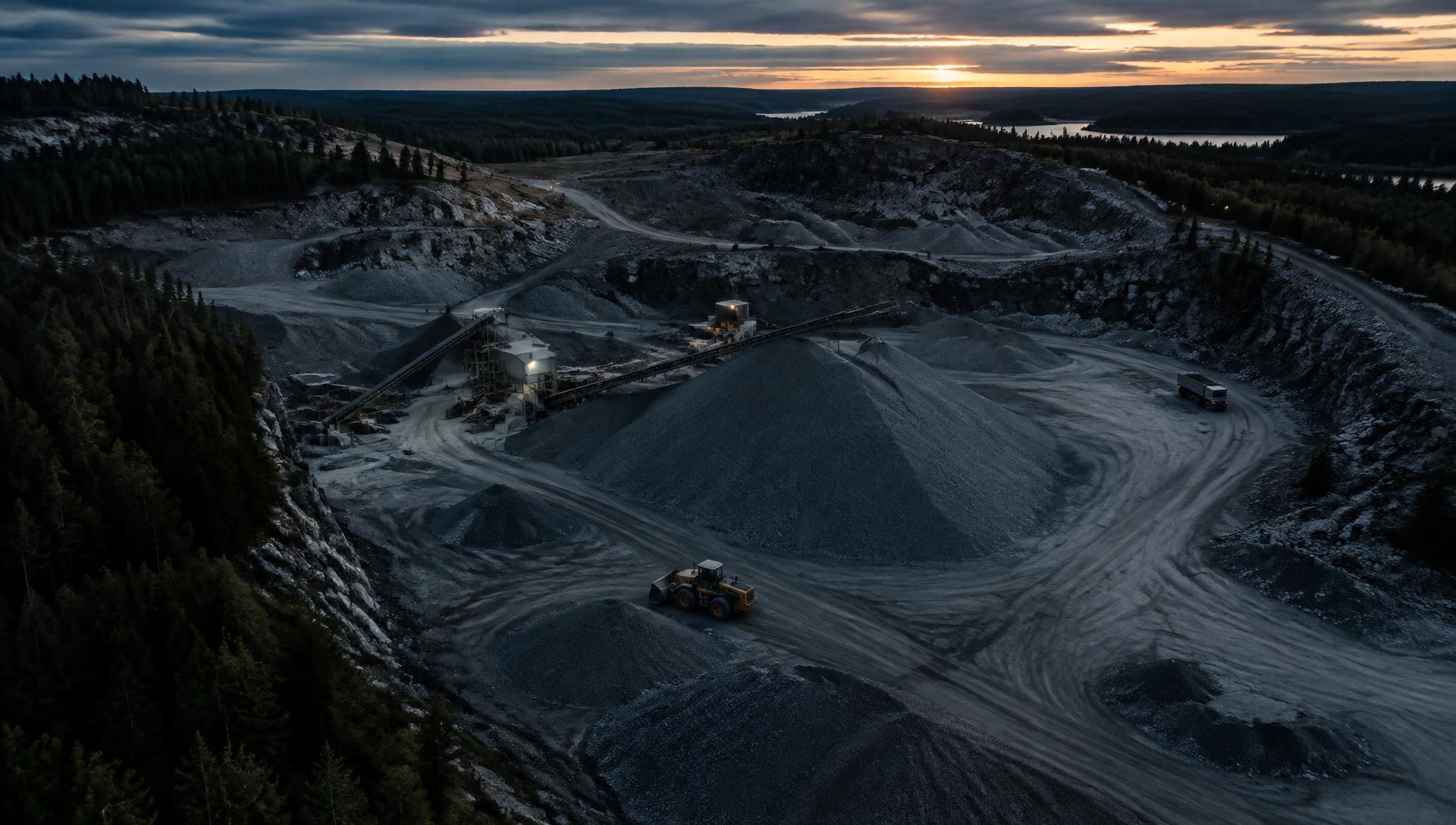
Volume calculation and material management
Volumes for stockpiles of crushed rock, gravel, sand, soil and other materials – for inventory control and monitoring.
02
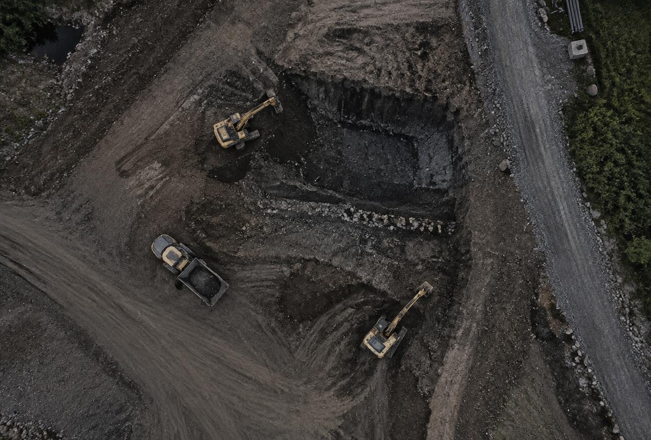
Quarry and land surveying
Drone mapping of rock and gravel quarries, work sites and land.
03
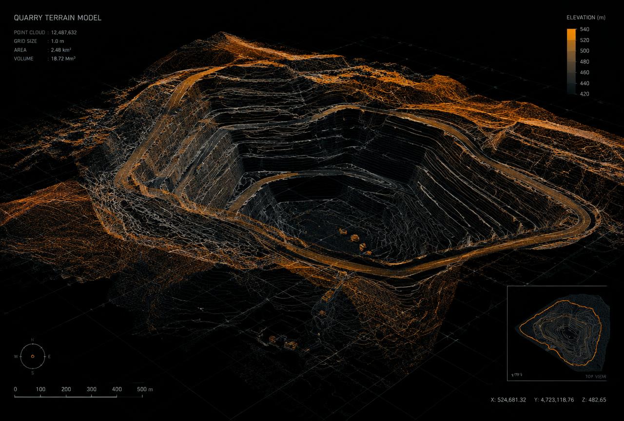
3D modelling and terrain models
Orthophotos, point clouds, 3D models and terrain models from drone imagery.
04
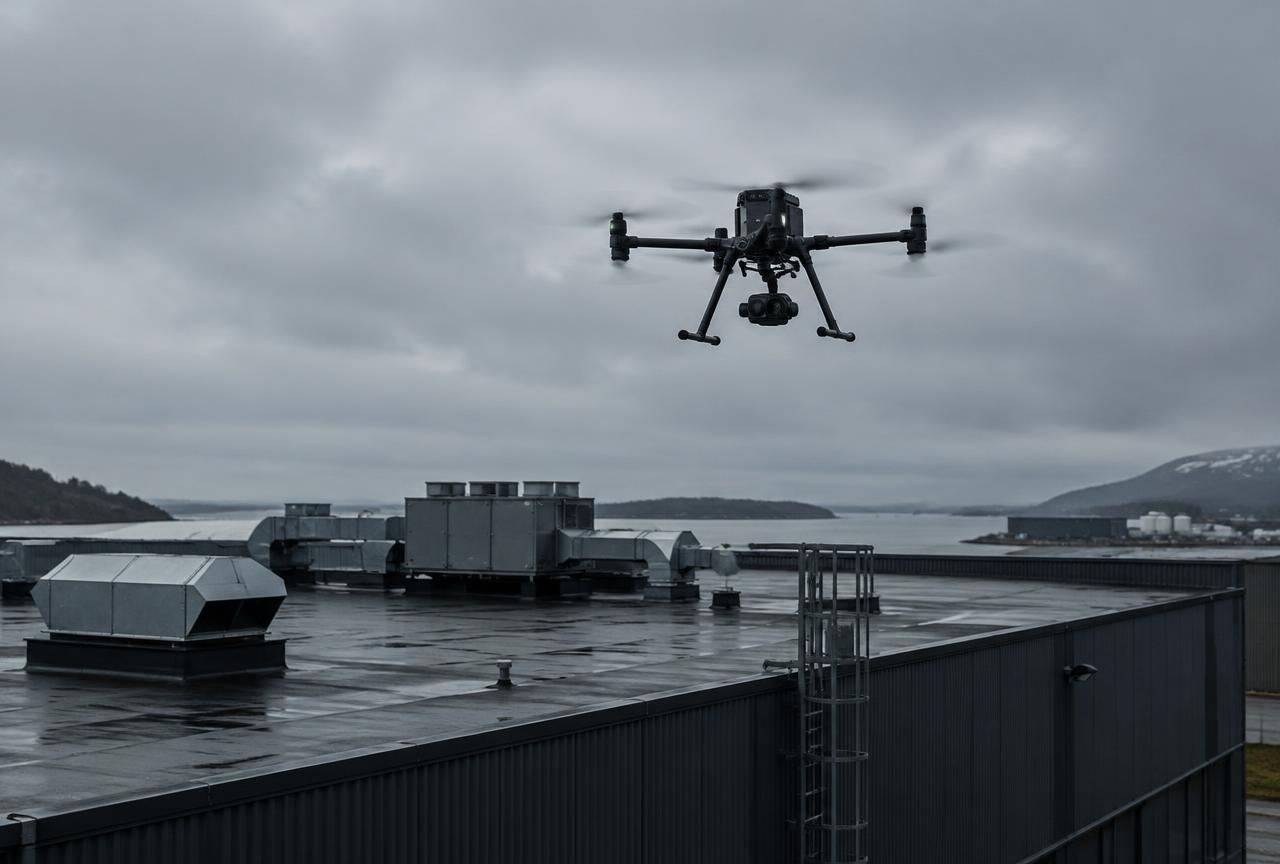
Drone inspections
Visual checks and documentation of roofs, facades, industrial buildings and hard-to-reach areas.
05
Documentation and repeat surveying
Repeat flights showing changes over time in stockpiles, quarries and work sites.
What do you need to survey or inspect?
Tell us about your site or structure and we will propose a suitable approach.