Service 05 · Documentation
Documentation and repeat surveying
For businesses that need to track changes over time – with an approach tailored to your requirements.
Track progress over time
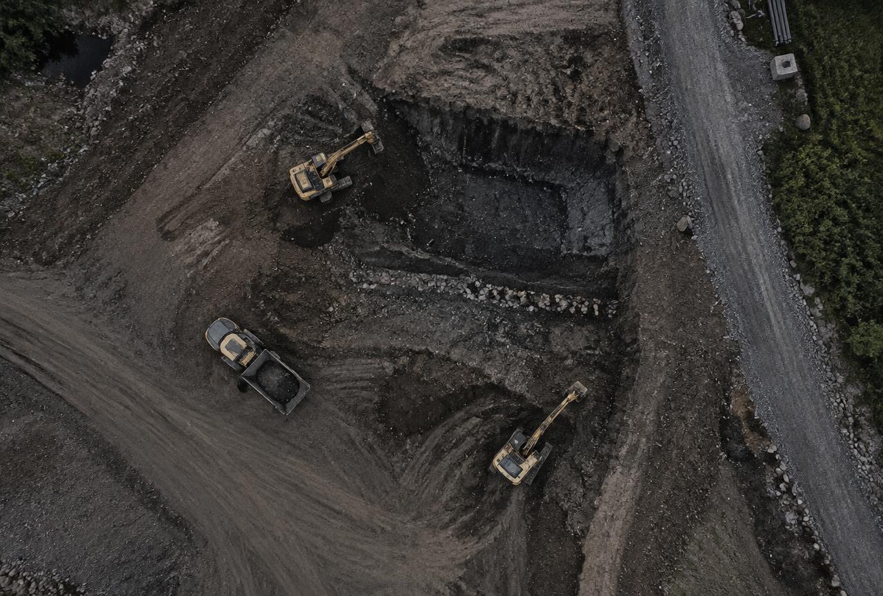
Regular flights over the same area create a series of records showing how stockpiles, quarries and work sites change. This provides a clear history for monitoring, reporting and communication with clients.
Examples
- Repeat flights over stockpiles and quarries
- Visual documentation of work sites
- Comparison between dates
- Imagery for monitoring and reporting
A flexible approach
Frequency, scope and delivery format are agreed with you based on how the information will be used.
Survey method and deliverable formats
We primarily survey using GNSS/RTK, which links the imagery directly to a coordinate system. Where needed, we add ground control points (GCPs) – for example when tighter positional control is required or site conditions call for it. The method is chosen based on the purpose of the project.
- Orthophotos and elevation models – GeoTIFF
- Point clouds – LAS/LAZ
- CAD data – DXF/DWG
- 3D model / mesh – OBJ
- Volume and summary reports – PDF
- Other formats and coordinate systems on request
Accuracy depends on factors such as flight altitude, image overlap, control points, terrain, vegetation, light and weather. We agree on realistic accuracy before the project starts.
Projects across Sweden and the Nordics
We take on assignments across Sweden and, by agreement, elsewhere in the Nordic region. Site size, travel, access and delivery requirements affect planning and pricing – tell us where and what, and we will come back with a proposal.
Frequently asked questions
How often should a site be documented?
It depends on how quickly the site changes – from weekly in active production to a few times a year. We suggest an interval based on your purpose.
How are surveys from different dates compared?
Surveys use the same coordinate system so surface models can be overlaid. Differences are reported as volumes, difference maps or image comparisons.
More services
Volume calculation and material management
Volumes for stockpiles of crushed rock, gravel, sand, soil and other materials – for inventory control and monitoring.
02Quarry and land surveying
Drone mapping of rock and gravel quarries, work sites and land.
033D modelling and terrain models
Orthophotos, point clouds, 3D models and terrain models from drone imagery.
04Drone inspections
Visual checks and documentation of roofs, facades, industrial buildings and hard-to-reach areas.
What do you need to survey or inspect?
Tell us about your site or structure and we will propose a suitable approach.