Drone surveying · Volume calculation · 3D · Inspection – across Sweden and the Nordics
From real terrain to information that supports better decisions.
We support contractors, quarries, industrial businesses and property owners across Sweden with drone surveying, volume calculations, 3D modelling and visual inspections. With hands-on contracting experience, we understand what needs documenting – and how the results will be used.
Core services
Surveying and inspection with practical value for your business.
Volume calculation and material management
Volumes for stockpiles of crushed rock, gravel, sand, soil and other materials – for inventory control and monitoring.
Read more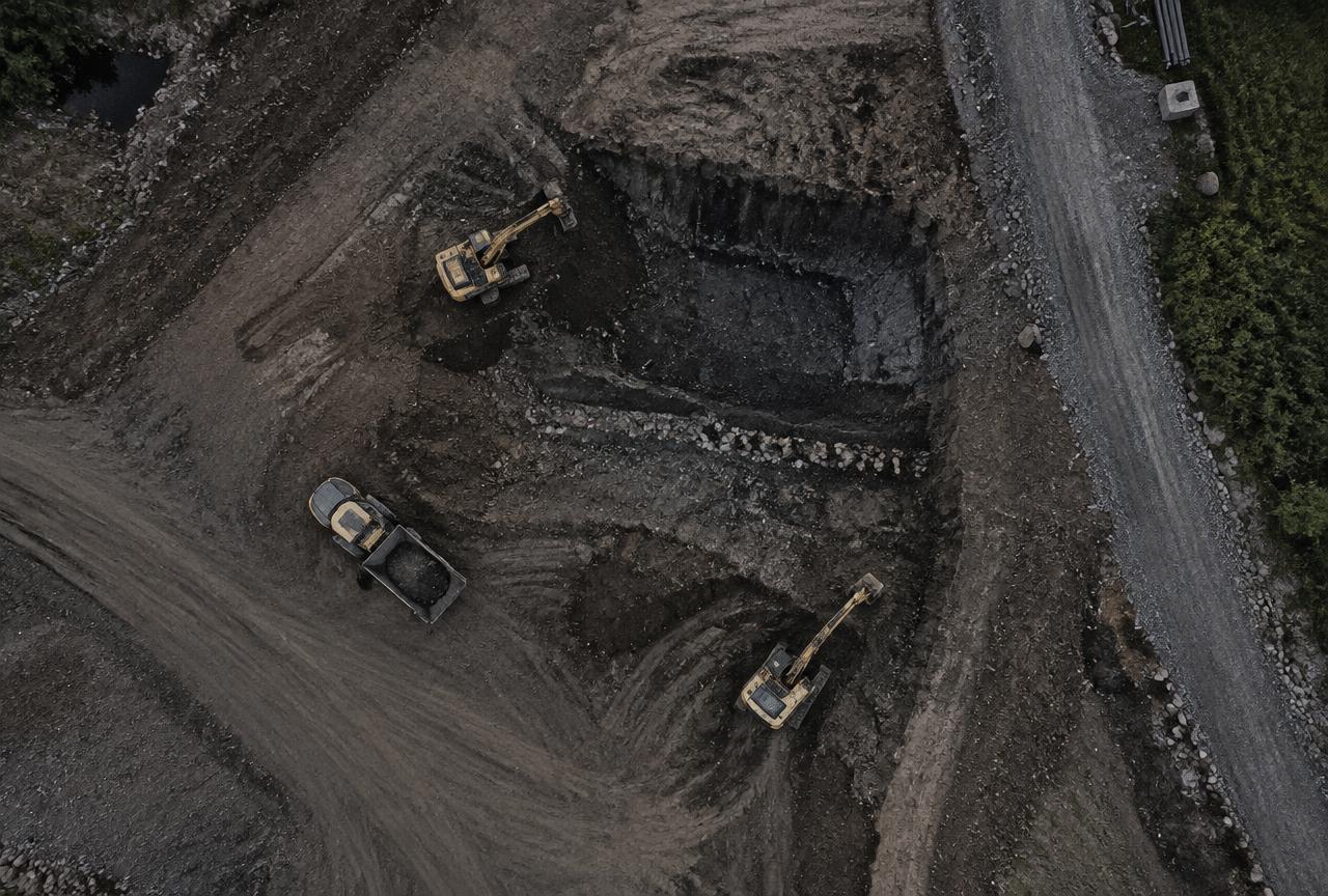
Quarry and land surveying
Drone mapping of rock and gravel quarries, work sites and land.
Read more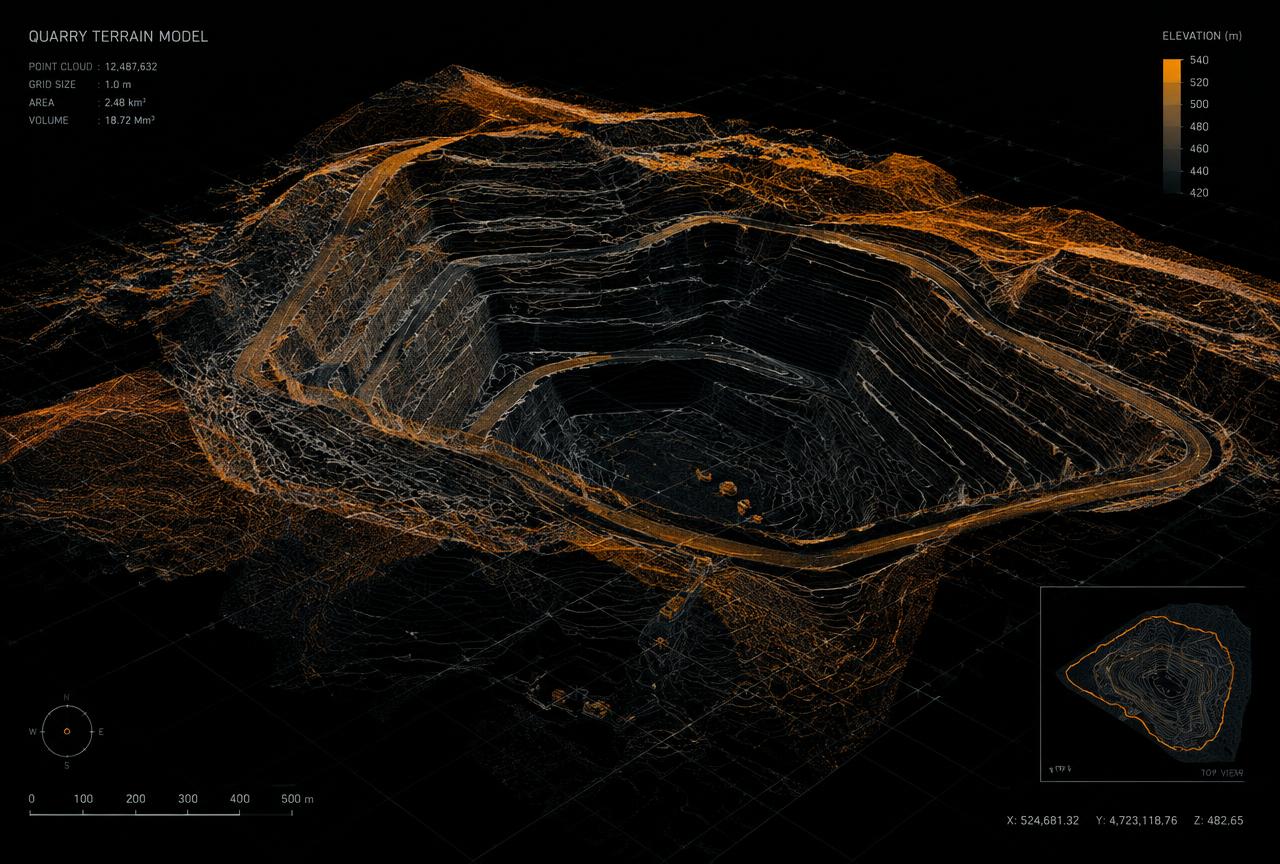
3D modelling and terrain models
Orthophotos, point clouds, 3D models and terrain models from drone imagery.
Read more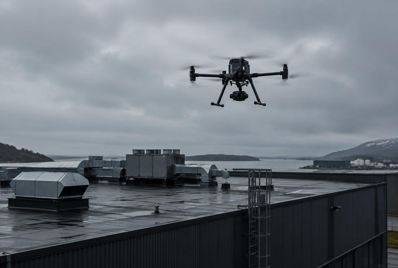
Drone inspections
Visual checks and documentation of roofs, facades, industrial buildings and hard-to-reach areas.
Read moreHands-on experience
We understand the realities on site.
Good surveying and inspection are about more than technology. They also require an understanding of materials, machinery, work sites and how the information will be used in your business.
Our hands-on experience in contracting, civil engineering and aggregate crushing gives us insight into operational challenges. We combine this knowledge with modern drone technology and digital processing to produce practical information for planning, monitoring and documentation.
More about us →Practical industry knowledge
We understand our clients’ working environments and requirements.
Modern technology
Drone data becomes models, survey outputs and visual inspection records.
Clear deliverables
Focused on information that helps you make decisions.
Our process
How a project works
- 01
Requirements and planning
We review the site, the purpose of the project and the deliverables required.
- 02
Data collection
Drone flights and photography are planned around site conditions and applicable regulations.
- 03
Processing and analysis
Data is processed into the agreed survey outputs, models or inspection images.
- 04
Delivery
You receive clear, practical results in the agreed format.
Delivery times, accuracy and output formats are agreed for each project.
Industries
For businesses that need the full picture
What do you need to survey or inspect?
Tell us about your site or structure and we will propose a suitable approach.