Service 04 · Drone inspection
Aerial inspection – a clearer overview, safer access.
Visual checks and documentation of sites, buildings and structures that are difficult or hazardous to access.
What can be inspected?
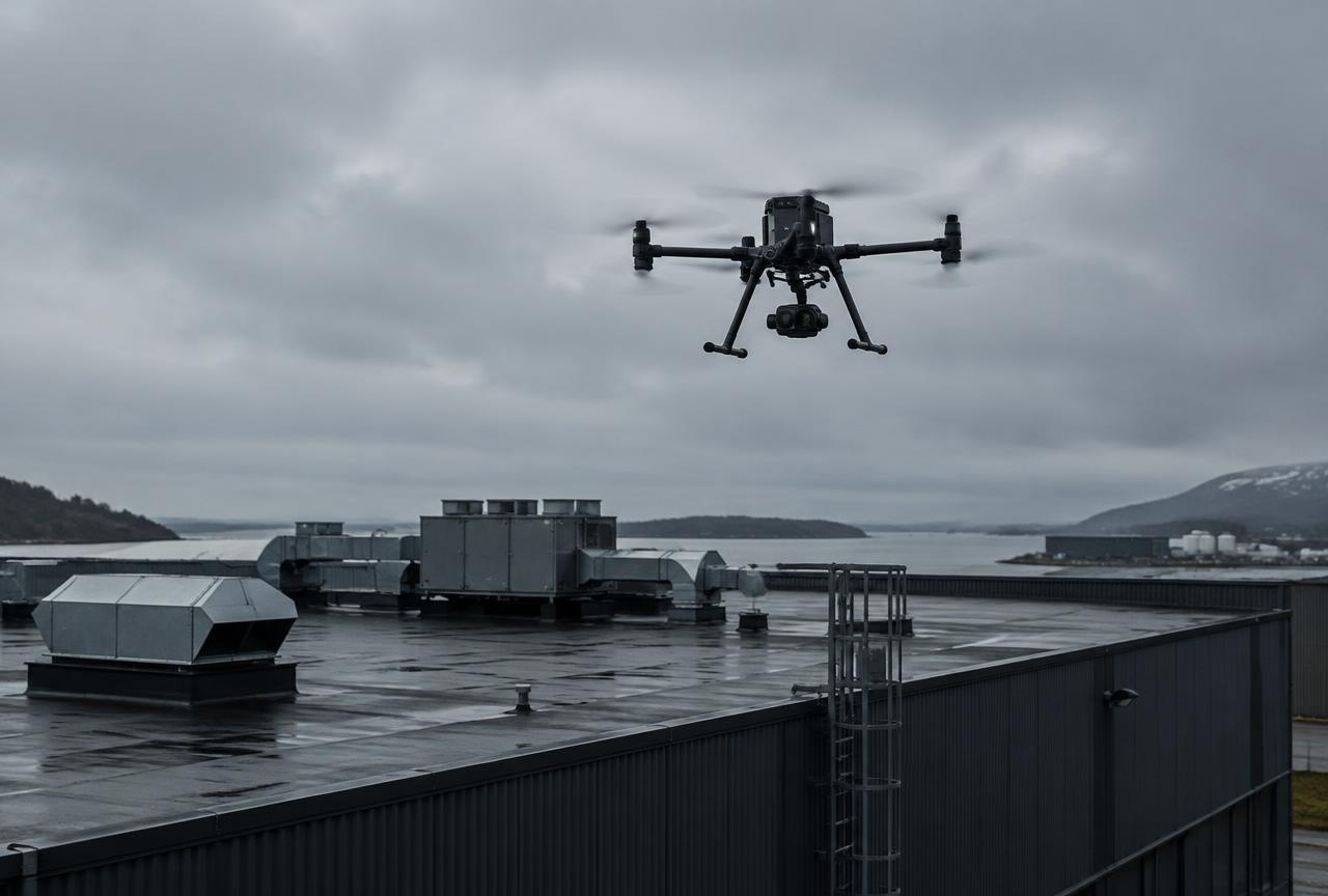
- Roofs and buildings
- Industrial buildings and large properties
- Facades and hard-to-reach structures
- Conveyors, stockpiles and parts of industrial facilities suitable for aerial visual inspection
- Visual documentation of dams and concrete structures
- Land, slopes and erosion damage
- Visual documentation of construction sites and facilities
- Overview checks for storm damage and visible defects
Benefits
A drone provides images and video from locations that would otherwise require a lift, scaffolding or climbing. You gain a clearer overview and a record of visible conditions, with less need to approach hazardous areas immediately. The imagery can support planning for further action.
Good to know
Drone inspection provides visual checks and documentation, unless a specific technical inspection method has been agreed. It does not replace a formal building, electrical, roof or safety inspection, and hidden defects cannot be guaranteed to be detected. If you require such an inspection, the imagery can still be a valuable supporting resource.
Projects across Sweden and the Nordics
We take on assignments across Sweden and, by agreement, elsewhere in the Nordic region. Site size, travel, access and delivery requirements affect planning and pricing – tell us where and what, and we will come back with a proposal.
Frequently asked questions
Can a drone document concrete damage?
Visible damage such as cracks, spalling and leaching can be photographed and documented up close. Hidden damage cannot be assessed by visual inspection.
Can you document dams?
Yes, as visual documentation and supporting material for the dam owner's own assessment. It does not replace statutory dam safety inspection or technical assessment.
Can inspections be compared over time?
Yes. Repeat flights from similar positions make it easier to see whether visible defects change.
More services
Volume calculation and material management
Volumes for stockpiles of crushed rock, gravel, sand, soil and other materials – for inventory control and monitoring.
02Quarry and land surveying
Drone mapping of rock and gravel quarries, work sites and land.
033D modelling and terrain models
Orthophotos, point clouds, 3D models and terrain models from drone imagery.
05Documentation and repeat surveying
Repeat flights showing changes over time in stockpiles, quarries and work sites.
What do you need to survey or inspect?
Tell us about your site or structure and we will propose a suitable approach.